Trips
2004
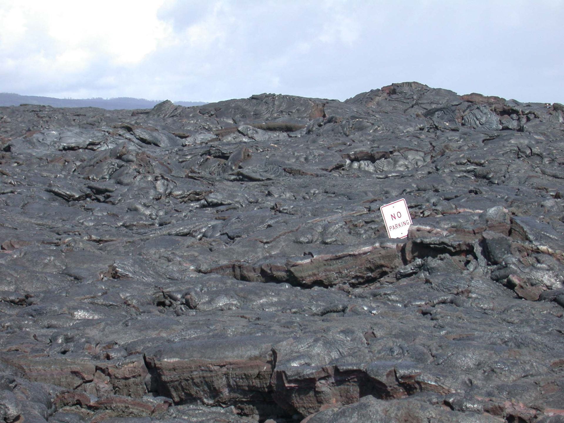
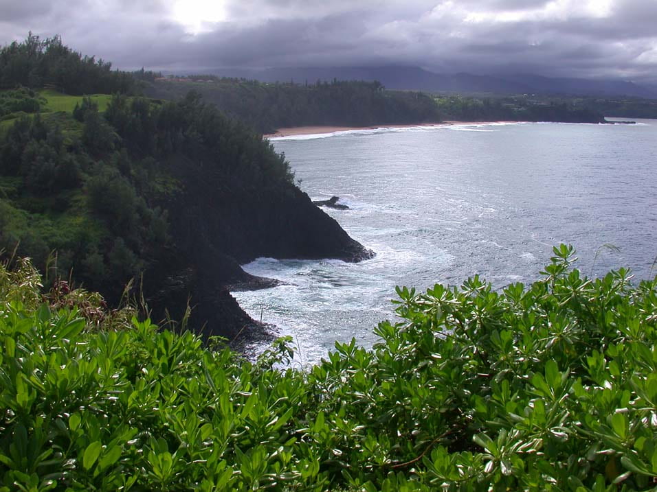
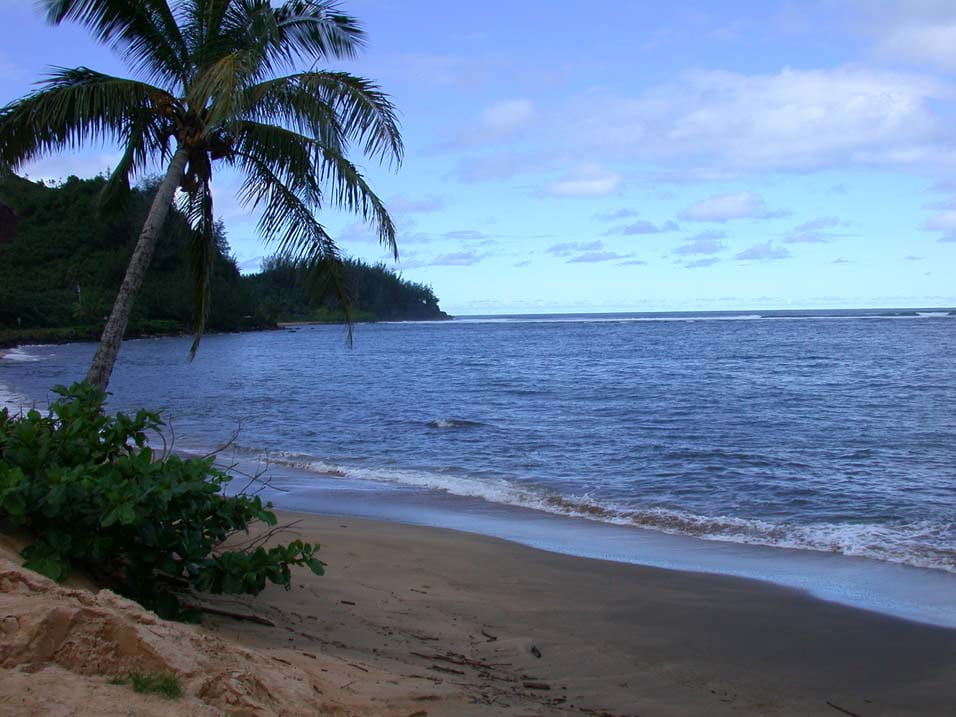
HAWAII
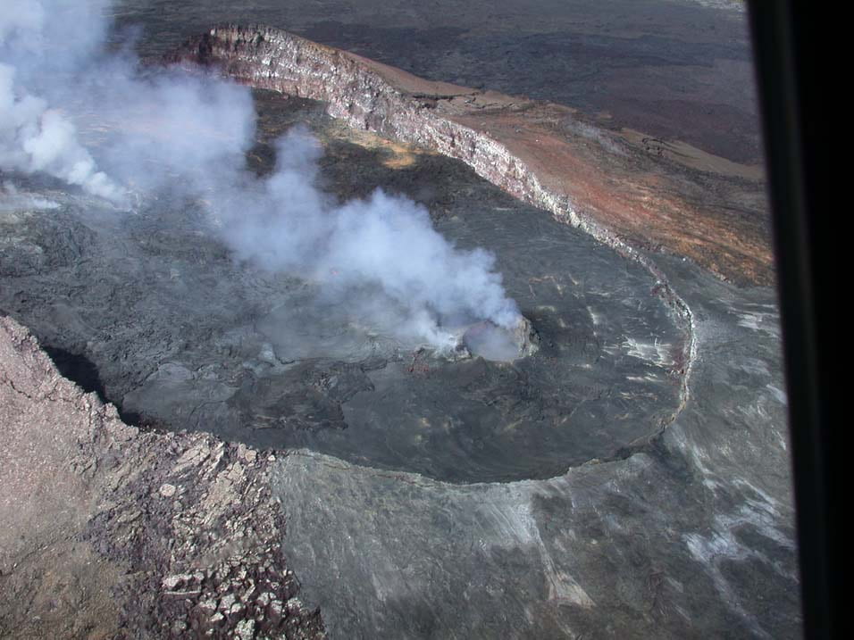
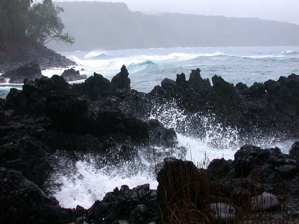
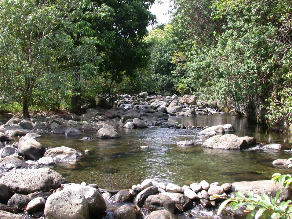
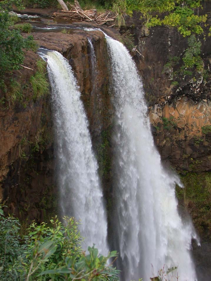
Shortly before attending a science conference on Kauai in November 2004, Joe spent two weeks on vacation in Hawaii. While there he was on four of the islands – Oahu, Kauai, Maui and the Hawaii (the Big Island). The photos here are just some of the spectacular areas he visited.


2005
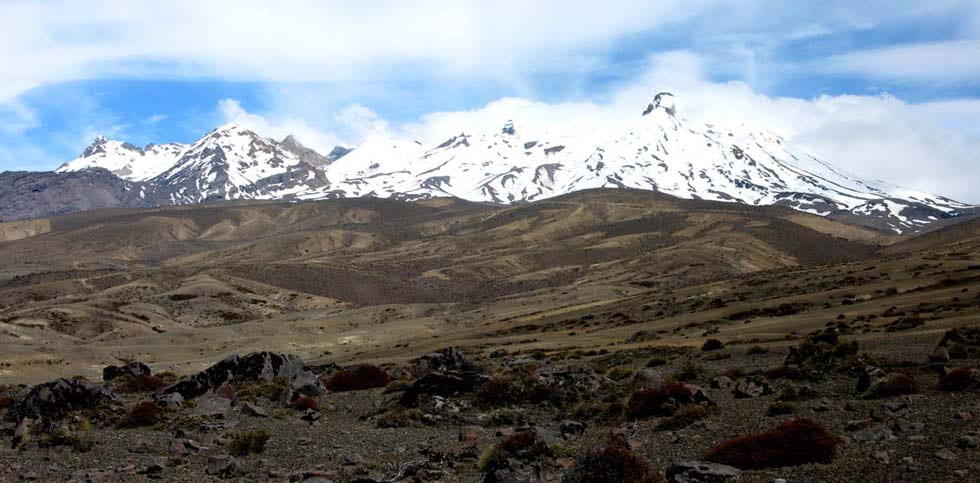
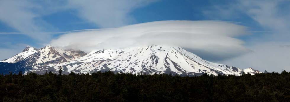
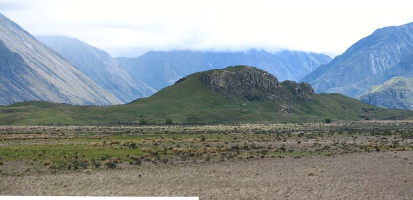
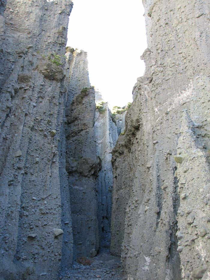
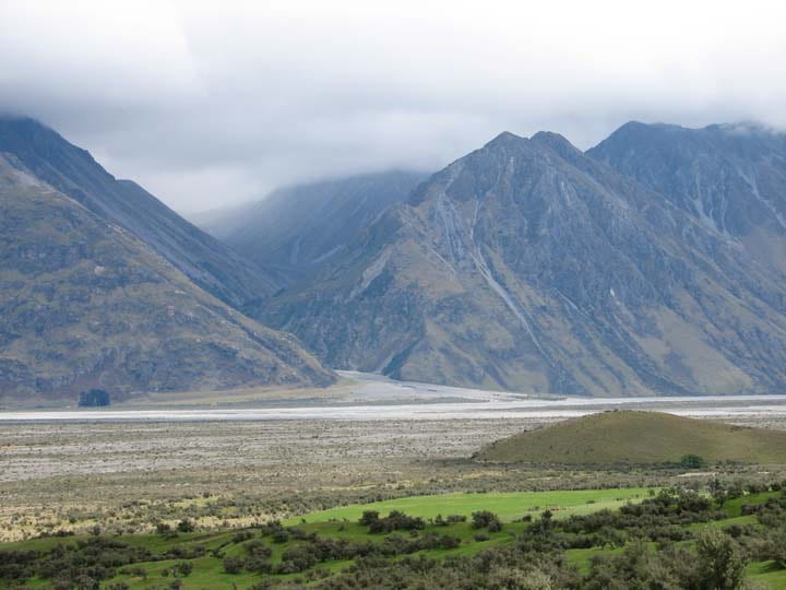
NEW ZEALAND
Just prior to going to Antarctica in late November 2005, Joe spent seventeen days on vacation in New Zealand (The US Antarctica Program is supplied and run through its base in Christchurch, so to take vacation there seemed obvious.). He explored by car the northern half of South Island and the central portion of North Island. Most of the trip was centered around visiting geologically interesting areas or locations used in filming the “Lord of the Rings” trilogy.


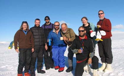
2005-2006
ANTARCTICA
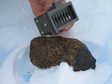
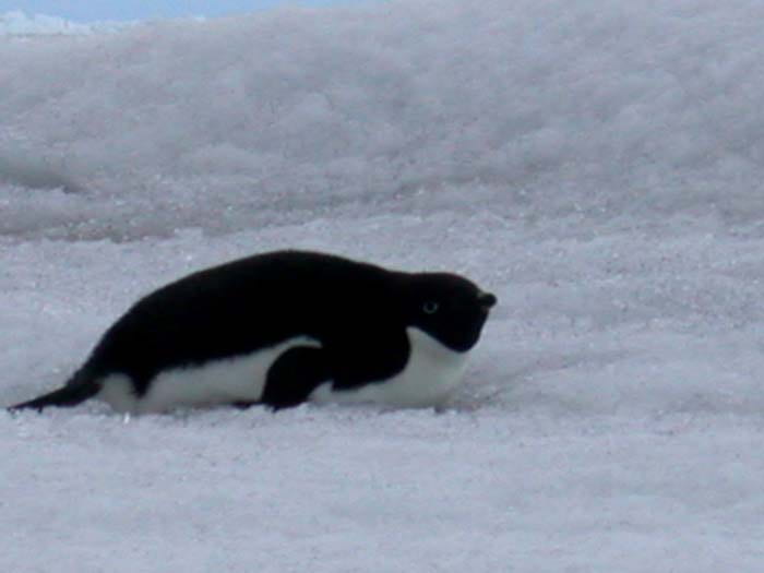
From late November 2005 to mid-January 2006, Joe joined ANSMET (The Search for Antarctic Meteorites), a jointly funded NASA/National Science Foundation annual expedition, to help collect meteorites on the blue ice fields. He went to Miller Range in the Transantarctic Mountains, which is about 400 miles from the South Pole.
The meteorites collected are processed and curated at Johnson Space Center in Houston and the National Musuem of Natural History (the Smithsonian) in Washington D.C. Institutions and individuals from around the world can borrow or obtain samples of the meteorites for research or educational/display purposes.


2006
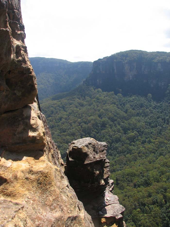
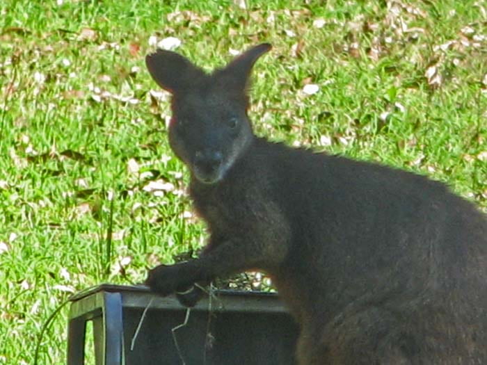
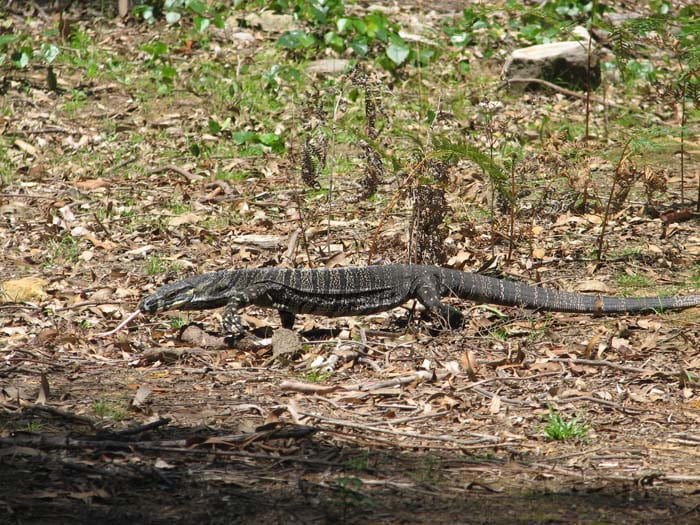
AUSTRALIA
On his way back to the US from Antarctica in January 2006, Joe took a few days to visit the area in and around Sydney, Australia.