Environmental and Remote Technologies Lab for GIS and Remote Sensing

Geographic Information Systems at Brown, GIS, EARTH Lab

Environmental and Remote Technologies Lab for GIS and Remote Sensing

Menu

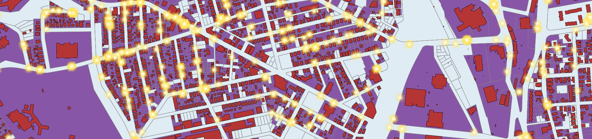
Geospatial Topics, Techniques and Tips

Topics

  • What is a Hot Spot Map vs. a Heat Map?
  • Stop Using Zip Codes for Geospatial Analysis


Techniques

  • Creating and Using Elevation Layers in ArcGIS Online & ArcGIS Pro
  • Using the RISEGIS Geocoding Service in ArcGIS Desktop
  • Using the RISEGIS Geocoding Service in ArcGIS Pro


Tips

  • Make a custom north arrow

Go To

  • About
  • Brown’s GIS Site License
  • Earth Lab Resources
  • Data Resources
  • Learning GIS
  • Geospatial Topics, Techniques and Tips
  • Quick ArcGIS Problem Solutions
    • Not finding a solution?
  • Cartographic Design Resources
  • Is the Earth Lab Available?
    • Where is the Earth Lab?

On Twitter

Tweets by Brown_GIS

Contact

Questions about GIS / Earth Lab? Lynn Carlson Questions about Remote Sensing?John Mustard
Copyright © 2023 Environmental and Remote Technologies Lab for GIS and Remote Sensing. Powered by WordPress. Theme: Accelerate by ThemeGrill.